Welcome to RadarOmega, the nextgeneration weather app that takes highresolution weather data to a whole new level. More than just radar, RadarOmega provides unique data solutions for all types of weather data that is customizable depending on your needs, whether that's before, during, or after the storm.
Dedicated to providing solutions to our industry, RadarOmega created an exclusive network of weather stations featuring live video and sensor data called cyclonePORT. RadarOmega and cyclonePORT work closely with universities, emergency managers, broadcast meteorologists, and more to provide solutions for relaying critical weather information when lifethreatening weather situations are imminent.
RadarOmega provides high resolution radar data for the United States, Canada, Germany, Australia, and South Korea.
Base Application Features:
HighResolution Single Site Radar Data
30 Frame Animations for Radar
7 Day Radar History with 30 frames
Lightning Detection/Animation
24 Hour Storm Reports
SPC Convective Outlooks, Watches, & Mesoscale Discussions
NHC Tropical Weather Outlooks, Discussions, & Active Tropical Cyclone Tracking
WPC Excessive Rainfall Outlooks
Fire Weather Outlooks & Weekly Drought Monitor
WPC Winter Weather Forecasts & Winter Storm Severity Index
METARS Data Layer
RealTime NWS StormBased Warnings
Flash animation and inapp sound alerts for Severe, Tropical, and Winter Alerts
WPC Surface Analysis
Buoy Data & Tidal Forecast Charts
NEXRAD Hail History
Spotter Network Locations
Map Type Customization
Detailed City & Road Network
15 Custom Locations with a RadarOmega Account
Drawing, Data Viewer, and Distance Tools
Share GIF and Videos of Radar Animations
Day/Night Layer
Access to cyclonePORT network
If you want additional data, we do offer subscription packages. Information on our subscriptions can also be found on our website (http://radaromega.com ) and inside the RadarOmega app.
Subscriptions:
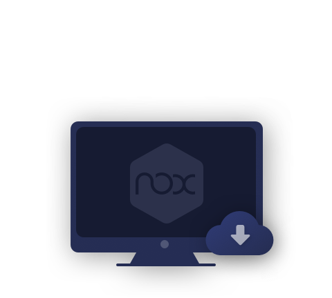
Desktop Access is only available to all RadarOmega Subscribers through http://radaromega.com .
Gamma
HiResolution Satellite Data
Lightning Detection/Animation, METARS, & GLM for Mesoscale & StormBased Satellite Sectors
National Digital Forecast Database
Storm Track Drawing Tool
Access to Project MesoVort
75 Frame Animations for Radar/Satellite
Dual View for Radar with 30 Frames
Smoothing for Radar/Satellite
30 Day Radar History with 75 Frames
6 Month Storm Report Archive
3D Radar/Satellite
Upload 3 Custom Color Tables
30 Custom Locations with Icon Upload
2 Custom Location Lists
Beta
Everything in Gamma PLUS
MRMS Data
150 Frame Animations for Radar/Satellite/MRMS
Dual View for Radar/Satellite with 50 Frames
Smoothing for MRMS
90 Day Radar History with 150 Frames
5 Year Storm Report Archive
3D MRMS
Upload 8 Custom Color Tables
75 Custom Locations with Icon Upload
5 Custom Location Lists
Alpha
Everything in Beta PLUS
Model Data with Contours for HRRR, NAM3KM, NAM12KM, RAP, GFS, ECMWF, HWRF, & HMON
250 Frame Animations for Radar/Satellite/MRMS
Dual View for Radar/Satellite with 100 Frames
Quad View for Radar/Satellite on Tablet and Desktop with 50 Frames
Smoothing for Models
90 Day Radar History with 250 Frames
10 Year Storm Report Archive
3D Models
Upload 30 Custom Color Tables
150 Custom Locations with Icon Upload
10 Custom Location Lists
1 site location monitoring (live monitor only, no SMS)
Subscriptions are maintained through the Google Play Store. We will work with our customers however, refunds must be done through the Google Play Store. Please be sure to reach out to our support team if you have any problems, questions, or concerns.
For Support You can create a ticket and we will resolve it as soon as possible: https://radaromegawx.supportbee.io/portal/sign_in
See our Terms of Service below: https://www.radaromega.com/terms.php